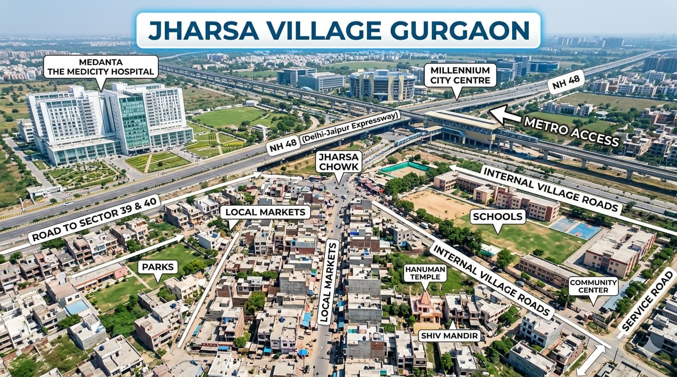
Jharsa Road Gurgaon
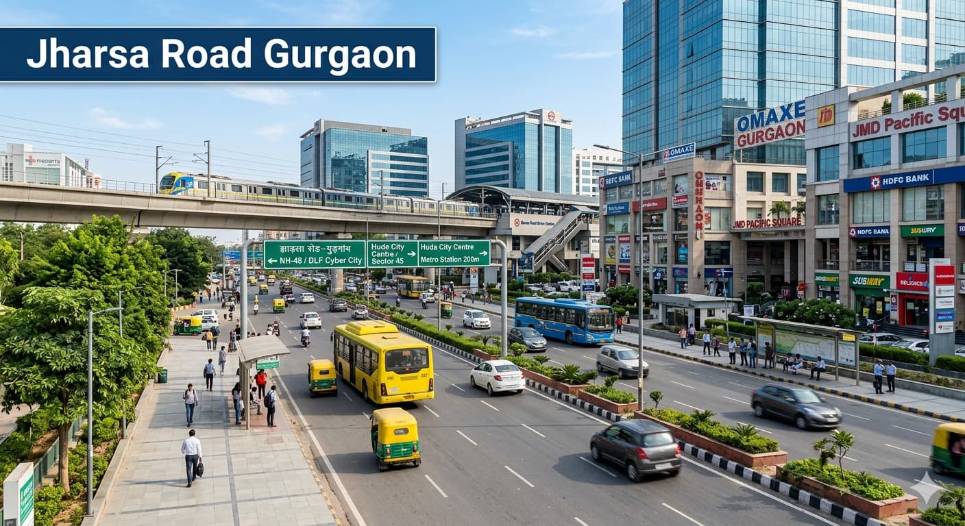
Jharsa Road Gurgaon is known as one of the famous connecting stretches of roads in Gurugram, which connects several major sectors, public services, commercial regions, educational institutes, and places of common usage. Generally, the region is associated with postal PIN codes 122001, 122003, and 122007, depending upon the particular pocket. As far as locals, visitors, students, office goers, and service seekers are concerned, Jharsa Road acts as a convenient passage through which they move.
This route becomes very important as far as access, transportation, and proximity are concerned. There are many people who look for information regarding direction, connectivity, local services, modes of commuting, and other nearby regions when coming to visit a new place. Whatever your motive is, be it for business purposes, educational reasons, medical issues, purchasing, or any other purpose, information about the locality helps save much time and energy. It passes through and connects various active regions of Gurugram. Public transport in the form of buses, auto-rickshaws, cabs, and metro rail services can be availed by people who are traveling to reach nearby regions.
Understanding the Area and Daily Importance
The road acts as an essential connection for the main part of Gurugram to other sectors around it. People who regularly use this route like the fact that it links them to educational institutions, hospitals, shopping centers, government offices, leisure zones, and commercial areas. Travelers usually find the convenience of the road along with many transportation options attractive. The residents of the area are also fortunate in having everything from educational institutions to parks and markets nearby.
Locality Snapshot
| Point | Details |
| Locality Name | Jharsa Road Gurgaon |
| City | Gurugram |
| State | Haryana |
| Region | Central Gurugram |
| PIN Code | Commonly linked with 122001, 122003 and 122007 depending on exact address |
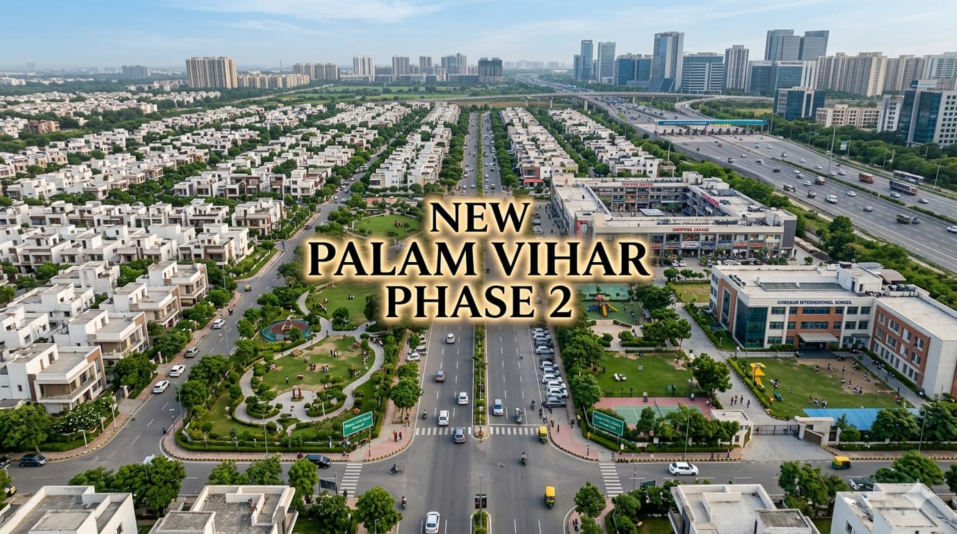
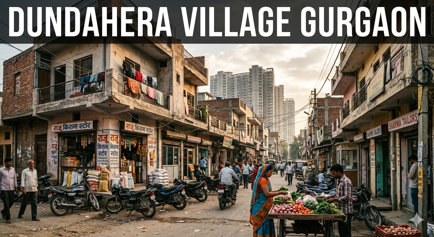
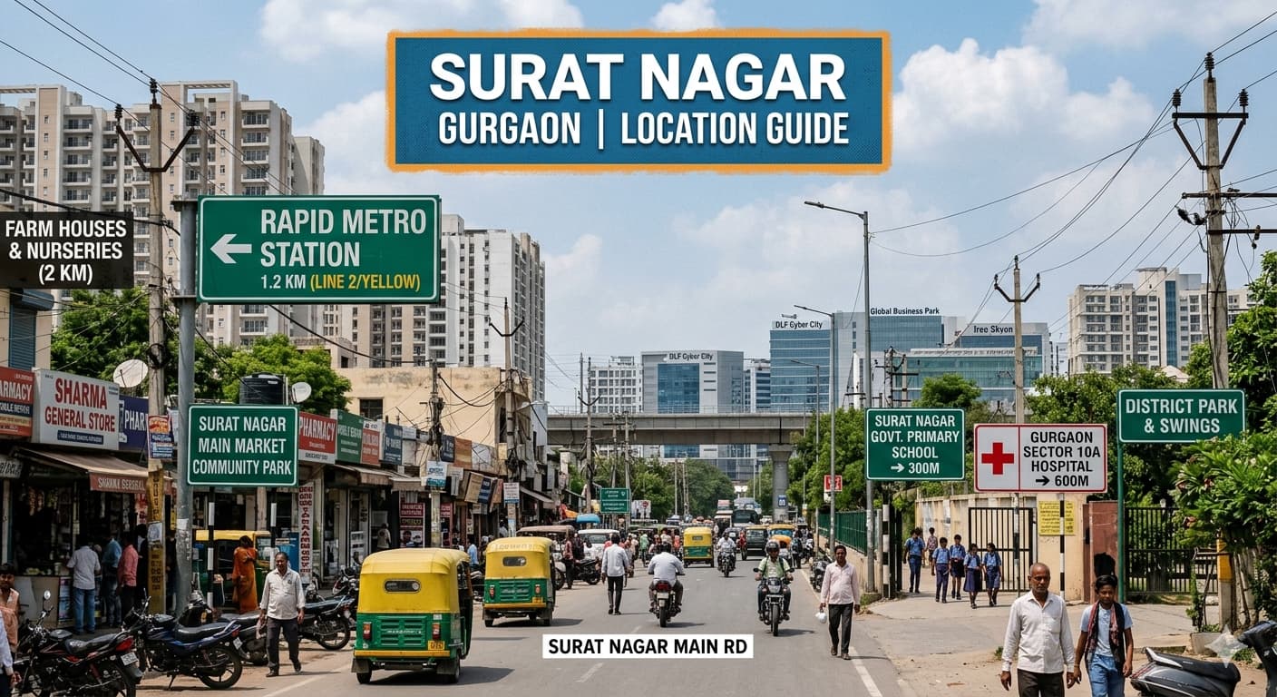
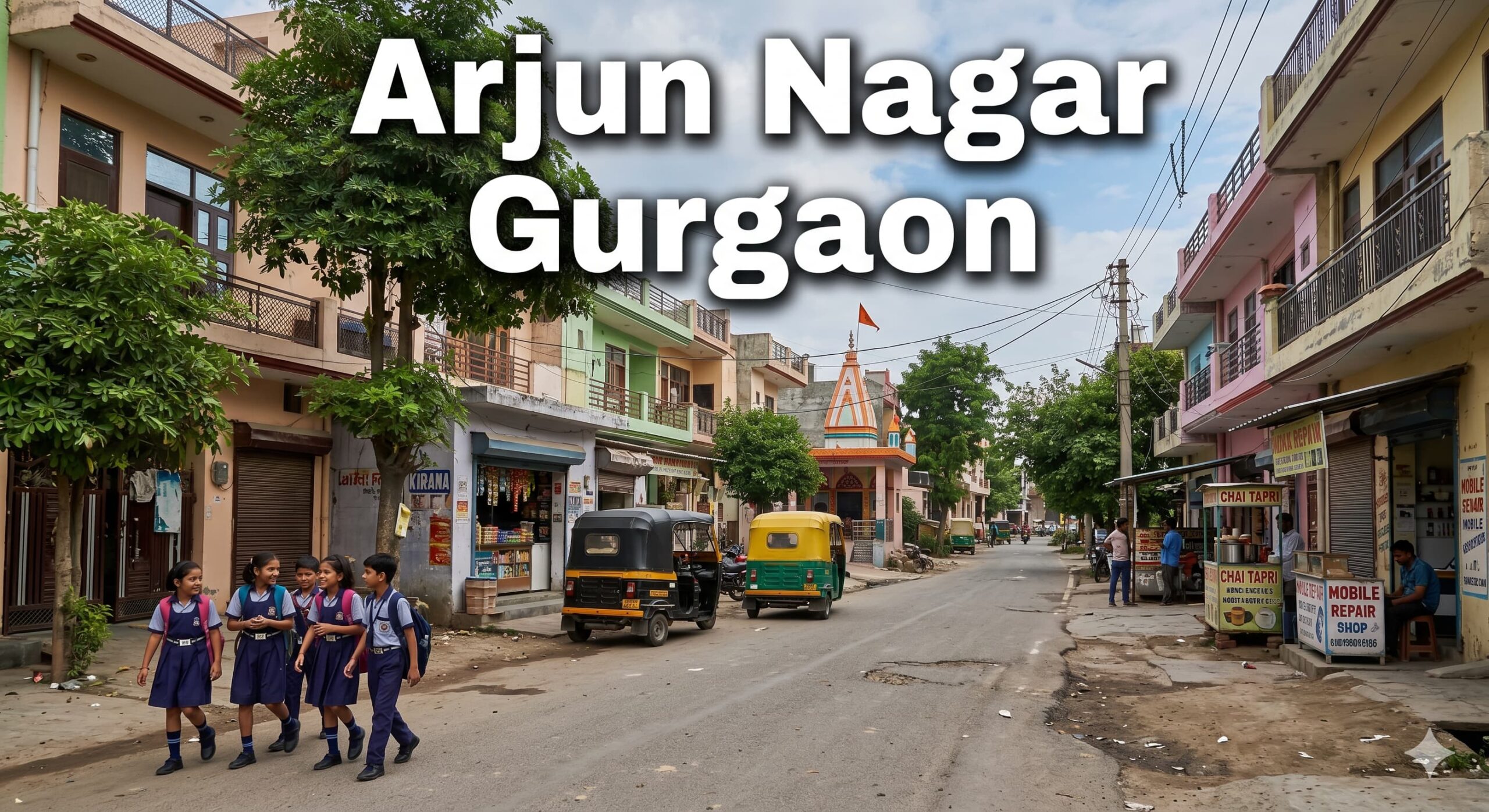
| Nearby Areas | Sector 15 Gurgaon, Civil Lines Gurgaon, Sector 14 Gurgaon, Sector 31 Gurgaon, Sector 32 Gurgaon, Sector 39 Gurgaon, Sector 40 Gurgaon |
| Main Road Access | NH 48, Old Delhi Road, Civil Lines Road, Sector Roads and Internal Connecting Roads |
| Nearest Metro Access | Millennium City Centre Gurugram Metro Station and IFFCO Chowk Metro Station |
| Common Property Types | Residential apartments, builder floors, independent houses and mixed-use developments |
| Popular Configurations | 2 BHK, 3 BHK, 4 BHK and independent homes |
| Best Suited For | Families, professionals, students, business owners and daily commuters |
Connectivity and Everyday Travel Experience
Accessing this area is rather easy as multiple transportation modes can be availed for ease of access. Bus, shared mobility systems, taxis, and metro connectivity facilitate easy navigation within the region. Individuals trying to locate the nearest metro station from jharsa road gurgaon opt for Millennium City Centre Gurugram Metro Station as it offers easy reach to most areas of Gurugram and even of Delhi. Additionally, the connection helps access the major roads for easier access to commercial and institutional areas.
Nearby Road and Metro Connectivity & Infrastructure
| Metro Station | Metro Line | Distance |
| Millennium City Centre Gurugram Metro Station | Yellow Line | Approx. 3.5 km |
| IFFCO Chowk Metro Station | Yellow Line | Approx. 5 km |
| HUDA City Centre Side Access | Yellow Line Corridor | Approx. 3.5 km |
| MG Road Metro Station | Yellow Line | Approx. 7 km |
Important Landmarks Around the Area
Another factor that keeps the route operational all day long is the presence of various learning institutions, hospitals, community centers, recreation grounds, and other places of business around the area. Travellers will always make use of the Map available in electronic format to help guide them along their journey.
Nearby Temples
| Temple Name | Address | Distance |
| Sheetla Mata Temple Gurgaon | Sheetla Mata Road Gurgaon | Approx. 4 km |
| Shiv Mandir Sector 15 Gurgaon | Sector 15 Gurgaon | Approx. 1 km |
| Hanuman Mandir Civil Lines Gurgaon | Civil Lines Gurgaon | Approx. 2 km |
| Durga Mandir Sector 14 Gurgaon | Sector 14 Gurgaon | Approx. 2.5 km |
Nearby Hospitals
| Hospital Name | Address | Phone | Distance |
| Civil Hospital Gurugram | Civil Lines Gurgaon | Available Locally | Approx. 2 km |
| Medanta Sector 38 Gurgaon | Sector 38 Gurgaon | Available Locally | Approx. 5 km |
| Park Hospital Gurgaon | Sector 47 Gurgaon | Available Locally | Approx. 7 km |
| Artemis Hospital Gurgaon | Sector 51 Gurgaon | Available Locally | Approx. 8 km |
Nearby Schools, Colleges and Institutes
| School Name | Address | Distance |
| Government School Sector 15 Gurgaon | Sector 15 Gurgaon | Approx. 1 km |
| DAV School Sector 14 Gurgaon | Sector 14 Gurgaon | Approx. 2 km |
| Government College Gurgaon | Sector 14 Gurgaon | Approx. 2.5 km |
| IT Training Institutes Cluster | Civil Lines Gurgaon | Approx. 2 km |
Nearby Malls and Cinema Halls
| Name | Address | Distance |
| Star Mall Gurgaon | Sector 30 Gurgaon | Approx. 4 km |
| Central Shopping Hub MG Road Gurgaon | MG Road Gurgaon | Approx. 7 km |
| Multiplex Complex Sector 29 Gurgaon | Sector 29 Gurgaon | Approx. 5 km |
| Entertainment Centre MG Road Gurgaon | MG Road Gurgaon | Approx. 7 km |
Nearby Clubs
| Name | Address | Distance |
| Community Club Sector 15 Gurgaon | Sector 15 Gurgaon | Approx. 1 km |
| Recreation Club Civil Lines Gurgaon | Civil Lines Gurgaon | Approx. 2 km |
| Sports and Activity Club Sector 31 Gurgaon | Sector 31 Gurgaon | Approx. 3 km |
Nearby Hotels and Restaurants
| Name | Address | Distance |
| City Business Hotel Civil Lines Gurgaon | Civil Lines Gurgaon | Approx. 2 km |
| Family Dining Hub Sector 14 Gurgaon | Sector 14 Gurgaon | Approx. 2 km |
| Transit Stay Sector 31 Gurgaon | Sector 31 Gurgaon | Approx. 3 km |
| Multi Cuisine Restaurant Sector 15 Gurgaon | Sector 15 Gurgaon | Approx. 1 km |
Nearby Farm House
| Name | Address | Distance |
| Green Retreat Farm Gurgaon | Jharsa Side Gurgaon | Approx. 6 km |
| Nature Farm Gurgaon | Sector 39 Gurgaon Side | Approx. 7 km |
| Countryside Farm Venue Gurgaon | Southern Gurgaon | Approx. 9 km |
Nearby Sports Club and Parks
| Name | Address | Distance |
| Tau Devi Lal Sports Complex Gurgaon | Sector 38 Gurgaon | Approx. 5 km |
| Community Park Sector 15 Gurgaon | Sector 15 Gurgaon | Approx. 1 km |
| District Park Gurgaon | Central Gurgaon | Approx. 3 km |
| Fitness Ground Sector 31 Gurgaon | Sector 31 Gurgaon | Approx. 3 km |
Nearby Residential Projects
| Project Name | Developer Name | Address | Distance |
| Residential Development Sector 15 Gurgaon | Local Developer | Sector 15 Gurgaon | Approx. 1 km |
| Housing Community Sector 31 Gurgaon | Local Developer | Sector 31 Gurgaon | Approx. 3 km |
| Group Housing Sector 39 Gurgaon | Local Developer | Sector 39 Gurgaon | Approx. 4 km |
Nearby Commercial Projects
| Project Name | Developer Name | Address | Distance |
| Business Complex Civil Lines Gurgaon | Local Developer | Civil Lines Gurgaon | Approx. 2 km |
| Office Hub Sector 32 Gurgaon | Local Developer | Sector 32 Gurgaon | Approx. 3 km |
| Commercial Centre Sector 14 Gurgaon | Local Developer | Sector 14 Gurgaon | Approx. 2 km |
Local Facilities That Make Daily Life Easier
The area supports a wide range of daily requirements. From educational institutions to healthcare centers and recreational facilities, most essentials remain accessible within a short travel distance.
Common advantages include:
• Strong road connectivity across central Gurugram
• Access to metro services and public transport
• Availability of schools and colleges nearby
• Presence of healthcare facilities
• Easy access to shopping and entertainment zones
• Connectivity to business and employment hubs
Finding Your Way Around
Practical Tips Before Visiting
A few simple precautions can make travel smoother:
• Plan travel during non-peak traffic hours.
• Keep destination details handy.
• Use metro services whenever possible for predictable travel time.
• Confirm parking availability before visiting specific destinations.
• Save alternate routes for busy traffic periods.
FAQ
What is the PIN code associated with Jharsa Road Gurgaon?
Depending on the exact address and sector, commonly linked PIN codes include 122001, 122003, and 122007.
Which is the nearest metro station for Jharsa Road Gurgaon?
The jharsa road gurgaon nearest metro station is generally considered Millennium City Centre Gurugram Metro Station.
How can I check Jharsa Road Gurgaon on a Map?
You can use any navigation application and enter the route name or nearby landmark to view the Map and travel directions.
Is public transport available around the area?
Yes, buses, auto-rickshaws, cabs, and metro connectivity are available.
What facilities are available nearby?
The area offers access to schools, hospitals, parks, shopping destinations, restaurants, and public services.
Summary
Jharsa Road Gurgaon is still an integral part of the urban network that caters to people commuting to work, accessing various amenities, attending school, seeking medical assistance, and reaching out to various business locations. Its efficient connectivity and easy accessibility to the metro rail and services ensure that it serves people in multiple capacities. Prior to heading out on a trip, consider checking your route, traffic situation, and destination information for a smooth journey. For further information regarding other localities in Gurgaon, one can check out updates at Sapient Realty.