
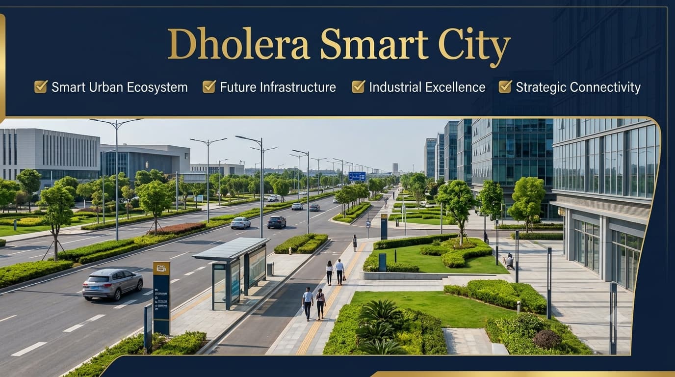
Dholera Smart City Project Guide
Dholera Smart City Gujarat is an example of large scale urban development located in the state of Gujarat in India. It is positioned at a distance of 100 KM from Ahmedabad and is estimated to cover an area of 920 square KM. Smart City Dholera is a part of the project called Delhi-Mumbai Industrial Corridor (DMIC). It is meant to host future industrial, business, logistics, and residential activities in the form of a planned city. Urban development will take place in different stages with separate land use zones, digitized infrastructure, utility corridors, and improved civic facilities. Dholera smart city project enjoys good connectivity with the Ahmedabad Dholera Expressway, metro corridor, Dholera International Airport, and regional freight and port networks.
The city was developed keeping in mind the principles of sustainable urbanization, technology-enabled government and public infrastructure. Intelligent utility management, water saving techniques, integrated waste management, and digital control are some of the features that would make the operations more efficient in the coming years. At the same time, the region has become attractive for various manufacturers, engineering companies, logistics firms, and IT-related enterprises because of its planned infrastructure and industrial ecosystem. Since the construction is going on in stages, potential investors and companies need to know about the latest developments of the project.
What Makes Dholera Smart City Different?
As opposed to conventional cities that develop incrementally from the existing towns, the development of Gujarat Smart City is a classic example of Greenfield development. The idea behind such planning methodology is that all the elements of urban development including roadways, utilities, industries, commercial areas, and civic infrastructure are built as interdependent parts rather than growing individually. It must be noted that the development of the smart city is greatly enhanced by its connection to the Delhi-Mumbai Industrial Corridor (DMIC). In this way, the city has not been conceived as merely an expanded residential area; it has been planned as an industrial and technological hub with logistics facilities.
Administrative Profile
The planning and implementation of Dholera Smart City Gujarat is overseen by specialized government organizations that work on policy making, infrastructure building, and project implementation. It is their combined responsibility that helps keep coordination between various phases of planning and implementation.
| Item | Details |
| State | Gujarat |
| District | Ahmedabad |
| Taluka | Dholera |
| Planning Authority | Dholera Special Investment Region Development Authority (DSIRDA) |
| Implementation Agency | Dholera Industrial City Development Limited (DICDL) |
| Industrial Corridor | Delhi–Mumbai Industrial Corridor (DMIC) |
| Total Area | Approximately 920 sq km |
| Developable Area | Approximately 422 sq km |
| Villages Covered | 22 |
This administrative framework enables different aspects of infrastructure, governance, and urban planning to progress under an organised institutional structure while supporting long-term development objectives across the Special Investment Region.
Why Dholera Holds Strategic Importance
Dholera City has been widely known all across the country because it is a major planned city development project aimed at building up the capabilities of industries and connectivity. Its location in Gujarat state and its connection with the Delhi-Mumbai Industrial Corridor, along with the availability of a large developable land base, creates an advantageous condition for comprehensive infrastructure planning. Unlike other cities, the project does not follow an unstructured pattern of development but uses a structured pattern of development in which transportation corridors, utilities, industrial areas, and other urban infrastructures are developed together in an organized manner to achieve efficiency. It allows the infrastructure to change according to the requirements of industry and business developments.
Core Infrastructure Components
Several large-scale infrastructure systems are being developed to support the city’s long-term vision. Together, these components establish the physical framework required for future urban and industrial activities.
| Infrastructure | Purpose | Development Role |
| Ahmedabad–Dholera Expressway (NH-751) | Regional connectivity | Improves movement between Ahmedabad and Dholera |
| Dholera International Airport | Air transportation | Supports passenger and cargo connectivity |
| Internal Road Network | Urban mobility | Connects different development zones |
| Underground Utility Corridor | Integrated public services | Houses multiple utility networks in a planned system |
| Water Supply Network | Essential civic infrastructure | Supports residential, commercial, and industrial requirements |
| Power Distribution System | Reliable electricity | Enables uninterrupted infrastructure support |
| Digital Communication Network | Smart governance | Facilitates technology-enabled public services |
These infrastructure components are designed to complement each other, creating an organised urban framework instead of isolated development projects.
Integrated Utility Planning
One of the notable aspects of the Smart City is the concept of utility integration. Contemporary cities require various types of utility, including power supply, water supply, sewerage, communications, and infrastructure. All of these utility systems in Dholera City have been integrated into one so that the operation would be more efficient, and the maintenance of the system easier. It helps to avoid problems in the future and to grow systematically.
The planned utility framework includes:
- Underground electricity distribution
- Water supply infrastructure
- Sewerage network
- Stormwater drainage system
- Information and communication technology (ICT) infrastructure
- Public utility corridors
This integrated approach reflects the broader objective of developing infrastructure that remains efficient and adaptable as the city grows over time.
Industrial Ecosystem and Economic Vision
The Smart City was conceptualized to be a diverse industrial hub that will have the capacity to accommodate various sectors of manufacturing and technology-based industries. Instead of relying only on one sector of the industry, the planning strategy enables the integration of a wide range of industrial activities within an interconnected infrastructure system.
The planned industrial ecosystem includes:
| Industrial Segment | Planned Focus |
| Electronics Manufacturing | Advanced electronics production |
| Semiconductor Industry | High-technology manufacturing ecosystem |
| Engineering Industries | Industrial equipment and engineering activities |
| Automobile & Auto Ancillary | Automotive manufacturing support |
| Pharmaceuticals | Healthcare and pharmaceutical production |
| Biotechnology | Research and biotechnology development |
| Food Processing | Food manufacturing and value addition |
| Logistics & Warehousing | Storage and supply chain operations |
This broad industrial landscape is intended to create employment opportunities, strengthen manufacturing capability, and support long-term economic development within the region.
Residential Development
These are residential land-use zones allocated specifically for future settlements linked to the future growth of industries, commercial activities, and institutions. These residential zones have infrastructure like roads, utilities, green spaces, and civic amenities. Residential development in this context should not be considered in terms of housing settlements but integrated within transportation systems and public facilities for greater convenience and better access.
It must be clearly noted that these are residential land-use zones and not residential colonies. The private developers might use Dholera villages for marketing purpose; however, the location of the project is identified through Six TP schemes, village limits, Final Plot numbers, and land use.
Commercial Development
Business planning is a very significant aspect of assisting in the operations of businesses, public facilities, and the needs of the city on a daily basis. In the master plan there are specific zones set aside for business purposes like offices, business houses, and other forms of business-related activity.
Major commercial planning components include:
| Commercial Area | Planned Purpose |
| Commercial Business Districts | Offices and organised business activities |
| Mixed-use Zones | Integrated commercial and supporting developments |
| City Centre | Public services, retail, and urban activities |
| Administrative & Business Centre (ABCD) | Administrative offices and business ecosystem |
These planned commercial districts contribute to creating an organised urban environment where business operations and public services remain accessible across different parts of the city.
Connectivity Across Regional and National Networks
Efficient connectivity is one of the major strengths of Dholera smart city project. The city is planned to connect with surrounding regions through a combination of expressways, airports, arterial roads, and internal transportation infrastructure. Strong regional connectivity not only supports industrial logistics but also improves access for businesses, institutions, and future residents.
Key connectivity components include:
- Ahmedabad–Dholera Expressway (NH-751)
- Dholera International Airport
- State Highway connectivity
- Hierarchical internal road network
- Industrial transport corridors
- Utility and infrastructure corridors
Together, these transportation systems help integrate Dholera with wider regional economic networks while supporting efficient movement within the Special Investment Region.
Economic Opportunities
Vision for Dholera sir smart city has been framed to ensure sustainable economic growth by developing a business environment that is suitable for operating industries, business establishments, technology firms, logistics companies, and service sectors in an efficient infrastructure setting. The concept does not include any specific economic activity but promotes diversification into several industrial sectors through the use of advanced facilities.
Potential areas contributing to the economic ecosystem include:
- Manufacturing industries
- Technology-driven enterprises
- Engineering services
- Logistics and warehousing
- Business support services
- Research and innovation
- Commercial activities
This diversified approach strengthens the city’s ability to support employment generation, industrial collaboration, and future business expansion while maintaining an organised urban structure.
How Dholera City Differs from Conventional Urban Development
The planning approach of Dholera is different from the approach used by many conventional cities which grow in a way where infrastructure is added after their growth. In Dholera, infrastructure such as transportation, utilities, industries, and civic infrastructure are all part of the planning process before development is considered.
| Traditional City | Dholera Smart City |
| Gradual urban expansion | Planned Greenfield development |
| Infrastructure added over time | Infrastructure planned from the beginning |
| Independent utility systems | Integrated utility corridors |
| Organic road growth | Hierarchical road network |
| Mixed development patterns | Planned land-use framework |
| Reactive expansion | Long-term coordinated planning |
This planning philosophy allows Dholera smart city project cost to develop through an organised framework that supports future growth while maintaining efficiency across infrastructure, public services, and economic activities.
Current Development Perspective
The Gujarat Smart City Dholera keeps on growing using a sequential development process whereby the creation of infrastructure is used as a platform for developing the city. As opposed to the development of housing and commercial sectors, development takes precedence in transport corridors, utility services, and industrial facilities. The sequence is due to the strategic planning that has been taken by the developers of the city where infrastructure comes before the development of any urban activities. The different departments continue to manage the planning and development of the city as per the plans. As the infrastructure grows, other industries will be developed in the city.
Advantages of Dholera Smart City
Dholera has been planned with a comprehensive vision that combines infrastructure, industrial development, sustainability, and organised urban planning. Several characteristics distinguish it from many conventional urban developments.
| Advantage | Explanation |
| Planned Greenfield Development | The city is designed through an integrated planning framework rather than gradual urban expansion. |
| Strategic Regional Location | Positioned within Gujarat and connected through the Delhi–Mumbai Industrial Corridor. |
| Modern Infrastructure | Roads, utilities, and public services are planned before large-scale development. |
| Diversified Industrial Ecosystem | Supports multiple manufacturing and technology-oriented industries. |
| Integrated Utility Network | Essential services are planned together for greater operational efficiency. |
| Sustainable Urban Planning | Environmental considerations are incorporated into long-term development. |
| Future Expansion Capacity | Large developable area provides flexibility for planned urban growth. |
Important Points to Understand About Dholera
Before exploring information related to Dholera Gujarat Smart City, it is useful to understand how the official planning framework differs from the terminology commonly used in property advertisements and informal discussions. Many online listings refer to villages as localities or use project names as location identifiers, whereas official planning documents follow a structured administrative system.
Keep the following points in mind:
- Dholera SIR officially covers 22 villages.
- The city does not follow a traditional sector-based planning model.
- Locations are primarily identified through 6 TP Schemes, Final Plot (FP) Numbers, Survey Numbers, and Land-use Zones.
- Private projects may use village names for marketing, but these should not be confused with officially notified localities.
- Official maps and planning records provide the most reliable reference for understanding locations within the Special Investment Region.
Developing familiarity with this planning terminology helps readers interpret official documents more accurately and reduces confusion created by unofficial naming conventions.
Common Myths About Smart City
As interest in Dholera has increased, several misconceptions have also become common. Understanding the distinction between public perception and the official planning framework can help readers evaluate information more objectively.
| Common Myth | Actual Position |
| Dholera already has sectors like other cities. | Official planning is based on 6 TP Schemes rather than sectors. |
| Every village is an established urban locality. | Villages form the geographical base of the SIR, not officially notified localities. |
| All developments within Dholera are government projects. | Government agencies develop public infrastructure, while private developers undertake their own projects subject to applicable regulations. |
| Every plotted area belongs to the Activation Area. | Development phases and planning areas differ across the Special Investment Region. |
| Project names define official locations. | Official identification relies on TP Schemes, Final Plot Numbers, Survey Numbers, villages, and land-use classifications. |
Conclusion
Gujarat Smart City is an exemplary case of long-term urban development that has taken into account the elements of planned development such as organization, infrastructure, diversification, and sustainability. While most of the cities are developed incrementally over time, Dholera is an example of a city that has been designed based on a framework whereby transportation, utilities, infrastructure, and economic zones have been planned in unison to facilitate future development. The unique location of the city within Gujarat, its association with the Delhi-Mumbai Industrial Corridor, and the emphasis on modern infrastructure distinguish the city from the others and make it one of the best examples of planned urban development in India. To get the insight into the administrative structure, infrastructure development, land use planning, and the development philosophy of the city login to Sapient Realty that would help one gain a better perspective about future developments at the place.
Frequently Asked Questions
Is it safe to buy land in Dholera?
Land purchases can be considered after verifying ownership records, legal approvals, title documents, zoning regulations, and applicable government permissions. Proper due diligence helps reduce legal and financial risks.
What is the current status of Dholera Smart City?
The Project is under phased development with ongoing work on transportation, utilities, industrial infrastructure, and public facilities. Progress differs across development zones and project components.
Why is Dholera famous?
Dholera is recognised for being India’s first planned greenfield smart city, featuring large-scale infrastructure, industrial planning, sustainable urban development, and strategic connectivity within the Delhi-Mumbai Industrial Corridor.
When will Dholera Smart City be completed?
Development is being executed in multiple phases rather than a single stage. Different infrastructure and industrial projects have separate implementation schedules, so there is no one official completion date.
What is the Dholera Smart City plot price?
Dholera Plot prices depend on factors including location, land category, plot dimensions, infrastructure availability, approvals, and prevailing market demand. Prices vary across different development areas.
Where is Dholera City located?
The Project is located in Gujarat, approximately 100 kilometres southwest of Ahmedabad, with connectivity through expressways, the planned airport, and future public transport infrastructure.
Dholera City is in which state?
The Project is situated in the Indian state of Gujarat and is planned as an integrated smart city supporting industrial, residential, commercial, and logistics development.
What are the Dholera Smart City project details?
The project includes planned industrial districts, commercial centres, residential sectors, logistics infrastructure, smart utility systems, transport networks, and sustainable public infrastructure developed in successive phases.
What is the Dholera Smart City Government website?
The official government website provides information on planning, infrastructure development, land policies, project updates, investment guidelines, and administrative notifications related to the Project.
Where can I find the Dholera Smart City map?
Official planning maps and digital mapping services display the city’s sector layout, transport corridors, infrastructure zones, road network, and important project locations.
How does Dholera Smart City plot booking work?
The booking process generally includes selecting a plot, verifying legal documents, reviewing project approvals, completing registration formalities, and following the applicable payment procedure.


